- التسوق ، جعل بسهولة.
- /
- احصل على التطبيق!
خريطة طبوغرافية للمشي لمسافات طويلة مقاومة للماء ومقاومة للتمزق تغطي جميع مسارات المشي لمسافات طويلة في مناطق Hunter-Fryingpan وMount Massive البرية بما في ذلك المنطقة الواقعة غرب Leadville وشرق Aspen. يغطي الجانب الأمامي من الخريطة المنطقة الشرقية / Mount Massive Wilderness، بما في ذلك جميع الممرات المحيطة بجبل Elbert. يُظهر الجزء الخلفي من الخريطة، النصف الغربي، منطقة Hunter-Fryingpan Wilderness شمال CO 82 وشرق Aspen.
 Sangre de Cristo Wilderness NORTH - خريطة كولورادو الطبوغرافية للمشي لمسافات طويلة (2022)
KWD 4
 راوة وايلدرنيس - خريطة كولورادو الطبوغرافية للمشي لمسافات طويلة (2018)
KWD 4
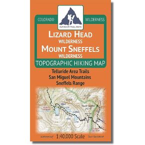
 Lizard Head - جبل سنيفيلز البرية - خريطة كولورادو الطبوغرافية للمشي لمسافات طويلة (2018)
KWD 4
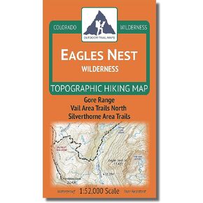
 Outdoor Trail Maps LLC Eagles Nest Wilderness - خريطة كولورادو الطبوغرافية للمشي لمسافات طويلة (2018)
KWD 4