- التسوق ، جعل بسهولة.
- /
- احصل على التطبيق!
خريطة طوبوغرافية للمشي لمسافات طويلة مقاومة للماء ومقاومة للتمزق تغطي جميع مسارات المشي لمسافات طويلة على طول Poudre Canyon بعد نهر Cache La Poudre في شمال كولورادو غرب فورت كولينز، بما في ذلك المسارات حول Red Feather Lakes وCache La Poudre Wilderness وشمال روزفلت الوطني. غابة. يغطي الجانب الأمامي من الخريطة الجزء الشرقي من وادي نهر بودر، بما في ذلك Seaman Reservoir وGreyrock Mountain وYoung Gulch والمزيد. يُظهر الجزء الخلفي من الخريطة الجزء الغربي من المنطقة بما في ذلك منطقة Red Feather Lakes ونظام مسارات Mount Margaret والمزيد.
 Sangre de Cristo Wilderness NORTH - خريطة كولورادو الطبوغرافية للمشي لمسافات طويلة (2022)
KWD 4
 راوة وايلدرنيس - خريطة كولورادو الطبوغرافية للمشي لمسافات طويلة (2018)
KWD 4
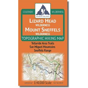
 Lizard Head - جبل سنيفيلز البرية - خريطة كولورادو الطبوغرافية للمشي لمسافات طويلة (2018)
KWD 4
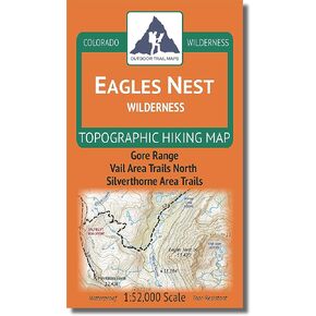
 Outdoor Trail Maps LLC Eagles Nest Wilderness - خريطة كولورادو الطبوغرافية للمشي لمسافات طويلة (2018)
KWD 4