- Shopping, made easy.
- /
- Get the app!
 North Cascades National Park Map (National Geographic Trails Illustrated Map, 223)
KWD 6.500
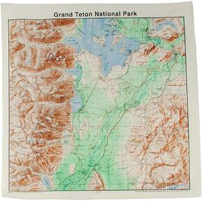 Topographic Map Bandana Grand Tetons
KWD 5.500
 -15%
Olympic National Park Map (National Geographic Trails Illustrated Map, 216)
KWD 5.500
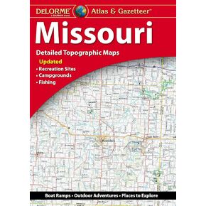 Delorme Atlas & Gazetteer: Missouri
KWD 12
 -20%
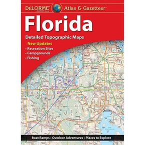
Delorme Atlas & Gazetteer: Florida
KWD 10
 -15%
Guatemala Map (National Geographic Adventure Map, 3110)
KWD 5.500
 Butler Maps G1 Regional Motorcycle Map (Southern California)
KWD 9.500
 Scratch Off Colorado Fourteeners Map Poster - 14ers Mountain Peaks - Ideal Bucket list Gift for Climbers - 22 x 17
KWD 7
 Shenandoah National Park Map (National Geographic Trails Illustrated Map, 228)
KWD 6.500
 Indian Peaks - James Peak Wilderness - Colorado Topographic Hiking Map (2021)
KWD 4
 -22%
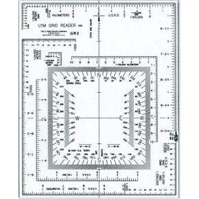
Westcott UTM Map Grid Reader/Plotter, 5" by 6", Transparent (GR-2)
KWD 3.500
 Azores Tour & Trail Super-Durable Map (2nd edition)
KWD 9.500
![Big Sur, Ventana Wilderness Map [Los Padres National Forest] (National Geographic Trails Illustrated Map, 814)](https://cdn1.tilga.com/md/prod/2/896/3/57033143.32249.jpg) -31%
Big Sur, Ventana Wilderness Map [Los Padres National Forest] (National Geographic Trails Illustrated Map, 814)
KWD 4.500
-31%
Big Sur, Ventana Wilderness Map [Los Padres National Forest] (National Geographic Trails Illustrated Map, 814)
KWD 4.500
 Rawah Wilderness - Colorado Topographic Hiking Map (2018)
KWD 4
 -6%
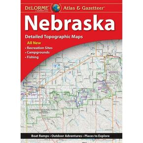
Delorme Atlas & Gazetteer: Nebraska
KWD 7.500
 -12%
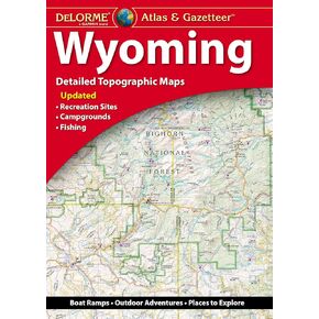
Delorme Atlas & Gazetteer: Wyoming
KWD 11
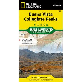 Buena Vista, Collegiate Peaks Map (National Geographic Trails Illustrated Map, 129)
KWD 6.500
 Outdoor Trail Maps LLC Lost Creek Wilderness - Colorado Topographic Hiking Map (2022)
KWD 4
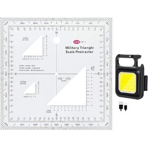 1.2mm Transparent Plastic Military UTM/MGRS Coordinate Scale Map Reading and Land Navigation Topographical Map Scale, Protractor and Grid Coordinate Reader
KWD 4.500
 Garmin Topo Alaska Enhanced, Garmin MicroSD/SD
KWD 33
 Outdoor Trail Maps Maroon Bells-Snowmass Wilderness - Colorado Topographic Hiking Map (2022)
KWD 4
 Rocky Mountain National Park Hiking Map
KWD 6.500
 -28%
Backcountry: The Game of Wilderness Survival: Great Smoky Mountains Edition
KWD 10.500
 Angeles National Forest Map (National Geographic Trails Illustrated Map, 811)
KWD 6.500
 YellowMaps Cape Vincent NY topo map, 1:62500 Scale, 15 X 15 Minute, Historical, 1895, Updated 1917, 20 x 16.6 in
KWD 12.500
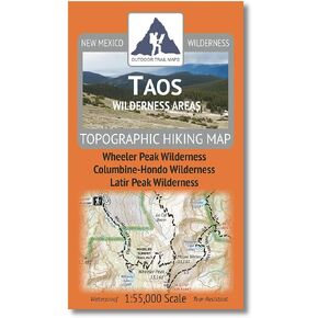 Outdoor Trail Maps Taos Wilderness Areas - New Mexico Hiking (2023)
KWD 4.500
 Beartooth Publishing Wind River Range Trail Map
KWD 6
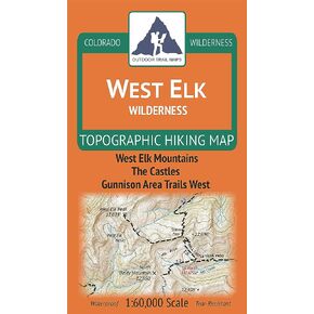 West Elk Wilderness - Colorado Topographic Hiking Map (2019)
KWD 4
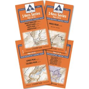 Outdoor Trail Maps Colorado 14ers Series Front-Tenmile-Mosquito Range Map Pack
KWD 9.500
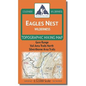 Outdoor Trail Maps LLC Eagles Nest Wilderness - Colorado Topographic Hiking Map (2018)
KWD 4
 Boulder County Recreation Topographic Map
KWD 8.500
![Mount Rogers National Recreation Area Map [Jefferson National Forest] (National Geographic Trails Illustrated Map, 786)](https://cdn1.tilga.com/md/prod/2/1214/3/61394450.60486.jpg) Mount Rogers National Recreation Area Map [Jefferson National Forest] (National Geographic Trails Illustrated Map, 786)
KWD 6.500
Mount Rogers National Recreation Area Map [Jefferson National Forest] (National Geographic Trails Illustrated Map, 786)
KWD 6.500