- Shopping, made easy.
- /
- Get the app!
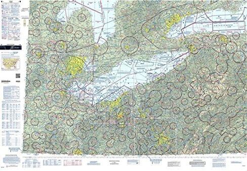
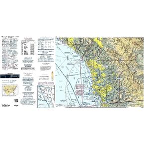
The FAA's well-known Sectional Aeronautical Chart series is the primary set of navigational publications designed for aviators who fly by external visual reference. These foldable, full-color charts are loaded with valuable aviation data including airport info (runway lengths, lighting, elevation, services available, surface type, etc.); airspace dimensions; VHF and LF/MF navigational facilities (frequency, ID, and channel); landmarks; cities & towns; elevation/topographic info; ATC entities and associated contact/radio frequencies; bodies of water; obstructions; and much, much more.The Detroit Sectional covers the airspace over much of the Great Lakes region, including portions of MI, OH, PA, NY, and even a bit of Southern Canada. Uses the standard 1:500,000 (6.86 nm per inch; 2.70 nm per cm) scale characteristic of sectional charts. Updated every six months. An affordable, info-packed source of relevant FAA data that should be a "no-go" item in every Great Lakes area pilot's flight bag.