- Shopping, made easy.
- /
- Get the app!
 Outdoor Trail Maps LLC Hunter-Fryingpan/Mount Massive Wilderness - Colorado Topographic Hiking Map (2018)
KWD 4
Outdoor Trail Maps LLC Hunter-Fryingpan/Mount Massive Wilderness - Colorado Topographic Hiking Map (2018)
KWD 4
 YellowMaps Dyas AL topo map, 1:50000 Scale, 15 X 15 Minute, Historical, 2003, 29.1 x 22.1 in
KWD 16.500
YellowMaps Dyas AL topo map, 1:50000 Scale, 15 X 15 Minute, Historical, 2003, 29.1 x 22.1 in
KWD 16.500
 Outdoor Trail Maps Sangre de Cristo Wilderness Map Pack: North Map and South Map
KWD 6.500
Outdoor Trail Maps Sangre de Cristo Wilderness Map Pack: North Map and South Map
KWD 6.500
 YellowMaps Lake Norman North NC topo map, 1:24000 Scale, 7.5 X 7.5 Minute, Historical, 1970, Updated 1992, 26.8 x 21.8 in
KWD 12.500
YellowMaps Lake Norman North NC topo map, 1:24000 Scale, 7.5 X 7.5 Minute, Historical, 1970, Updated 1992, 26.8 x 21.8 in
KWD 12.500
 Outdoor Trail Maps Poudre Canyon - Colorado Topographic Hiking Map (2020)
KWD 4.500
Outdoor Trail Maps Poudre Canyon - Colorado Topographic Hiking Map (2020)
KWD 4.500
 Los Alamos - New Mexico Hiking (2023)
KWD 4.500
Los Alamos - New Mexico Hiking (2023)
KWD 4.500
 Beartooth Publishing Wind River Range North, Wyoming Topographic Shaded Relief Outdoor Recreation Map
KWD 7.500
Beartooth Publishing Wind River Range North, Wyoming Topographic Shaded Relief Outdoor Recreation Map
KWD 7.500
 YellowMaps Merchants Millpond NC topo map, 1:24000 Scale, 7.5 X 7.5 Minute, Historical, 1981, Updated 1981, 26.9 x 21.9 in
KWD 12.500
YellowMaps Merchants Millpond NC topo map, 1:24000 Scale, 7.5 X 7.5 Minute, Historical, 1981, Updated 1981, 26.9 x 21.9 in
KWD 12.500
 Adventure Set of 4 Map Rulers 1:24,000 1:62,500 1:100,000 1:126,720
KWD 6
Adventure Set of 4 Map Rulers 1:24,000 1:62,500 1:100,000 1:126,720
KWD 6
 -11%
Franko Maps MAP FML CA Santa Catalina Guide
KWD 4
-11%
Franko Maps MAP FML CA Santa Catalina Guide
KWD 4
 YellowMaps Allentown East PA topo map, 1:24000 Scale, 7.5 X 7.5 Minute, Historical, 1964, Updated 1984, 27 x 22 in
KWD 12.500
YellowMaps Allentown East PA topo map, 1:24000 Scale, 7.5 X 7.5 Minute, Historical, 1964, Updated 1984, 27 x 22 in
KWD 12.500
 Benchmark Maps California Road & Recreation Atlas
KWD 13.500
Benchmark Maps California Road & Recreation Atlas
KWD 13.500
 YellowMaps Castle Dome Peak AZ topo map, 1:24000 Scale, 7.5 X 7.5 Minute, Historical, 1990, Updated 1990, 26.8 x 22 in
KWD 12.500
YellowMaps Castle Dome Peak AZ topo map, 1:24000 Scale, 7.5 X 7.5 Minute, Historical, 1990, Updated 1990, 26.8 x 22 in
KWD 12.500
 Official Central Pennsylvania Appalachian Trail Maps
KWD 8.500
Official Central Pennsylvania Appalachian Trail Maps
KWD 8.500
 Garmin Delorme Atlas & Gazetteer Paper Maps- NH/VT, AA-008826-000
KWD 13
Garmin Delorme Atlas & Gazetteer Paper Maps- NH/VT, AA-008826-000
KWD 13
 -15%
Guatemala Map (National Geographic Adventure Map, 3110)
KWD 5.500
-15%
Guatemala Map (National Geographic Adventure Map, 3110)
KWD 5.500
 Shenandoah National Park Map (National Geographic Trails Illustrated Map, 228)
KWD 6.500
Shenandoah National Park Map (National Geographic Trails Illustrated Map, 228)
KWD 6.500
 -15%
Olympic National Park Map (National Geographic Trails Illustrated Map, 216)
KWD 5.500
-15%
Olympic National Park Map (National Geographic Trails Illustrated Map, 216)
KWD 5.500
![Big Sur, Ventana Wilderness Map [Los Padres National Forest] (National Geographic Trails Illustrated Map, 814)](https://cdn1.tilga.com/md/prod/2/896/3/57033143.32249.jpg) -31%
Big Sur, Ventana Wilderness Map [Los Padres National Forest] (National Geographic Trails Illustrated Map, 814)
KWD 4.500
-31%
Big Sur, Ventana Wilderness Map [Los Padres National Forest] (National Geographic Trails Illustrated Map, 814)
KWD 4.500
 Angeles National Forest Map (National Geographic Trails Illustrated Map, 811)
KWD 6.500
Angeles National Forest Map (National Geographic Trails Illustrated Map, 811)
KWD 6.500
 Mount Jefferson, Mount Washington Map (National Geographic Trails Illustrated Map, 819)
KWD 6.500
Mount Jefferson, Mount Washington Map (National Geographic Trails Illustrated Map, 819)
KWD 6.500
![Tahoe National Forest West Map [Yuba and American Rivers] (National Geographic Trails Illustrated Map, 804)](https://cdn1.tilga.com/md/prod/2/907/3/57199706.47853.jpg) Tahoe National Forest West Map [Yuba and American Rivers] (National Geographic Trails Illustrated Map, 804)
KWD 6.500
Tahoe National Forest West Map [Yuba and American Rivers] (National Geographic Trails Illustrated Map, 804)
KWD 6.500
 Southern Wind River Range Hikng Map
KWD 4.500
Southern Wind River Range Hikng Map
KWD 4.500
![Mount Rogers National Recreation Area Map [Jefferson National Forest] (National Geographic Trails Illustrated Map, 786)](https://cdn1.tilga.com/md/prod/2/1214/3/61394450.60486.jpg) Mount Rogers National Recreation Area Map [Jefferson National Forest] (National Geographic Trails Illustrated Map, 786)
KWD 6.500
Mount Rogers National Recreation Area Map [Jefferson National Forest] (National Geographic Trails Illustrated Map, 786)
KWD 6.500
 Buena Vista, Collegiate Peaks Map (National Geographic Trails Illustrated Map, 129)
KWD 6.500
Buena Vista, Collegiate Peaks Map (National Geographic Trails Illustrated Map, 129)
KWD 6.500
 Grand Canyon Colorado River Rafting Pocket Topo Guides & Maps (12x18" Tear-Resistant/Waterproof)
KWD 5.500
Grand Canyon Colorado River Rafting Pocket Topo Guides & Maps (12x18" Tear-Resistant/Waterproof)
KWD 5.500
 Albuquerque Wilderness Areas - New Mexico Hiking (2023)
KWD 4.500
Albuquerque Wilderness Areas - New Mexico Hiking (2023)
KWD 4.500
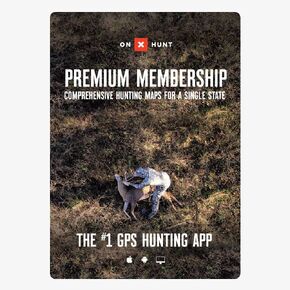 onX Hunt Premium App: Digital Map Membership for Phone, Tablet, and Computer - Color Coded Land Ownership - Google Imagery - 24k Topo - Hunting Specific Data - Updates for onX Hunt Chip
KWD 14.500
onX Hunt Premium App: Digital Map Membership for Phone, Tablet, and Computer - Color Coded Land Ownership - Google Imagery - 24k Topo - Hunting Specific Data - Updates for onX Hunt Chip
KWD 14.500
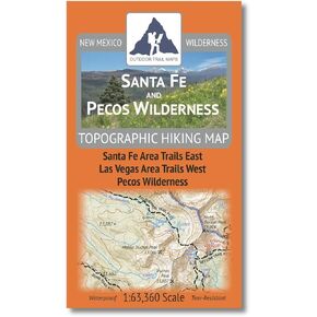 Santa Fe and Pecos Wilderness - New Mexico Hiking (2023)
KWD 4.500
Santa Fe and Pecos Wilderness - New Mexico Hiking (2023)
KWD 4.500
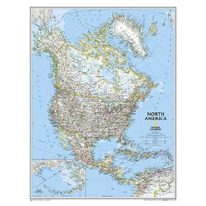 National Geographic North America Wall Map - Classic - Laminated (23.5 x 30.25 in) (National Geographic Reference Map)
KWD 10.500
National Geographic North America Wall Map - Classic - Laminated (23.5 x 30.25 in) (National Geographic Reference Map)
KWD 10.500
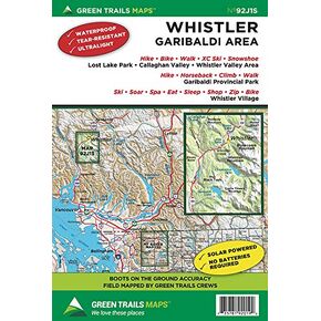 Whistler, BC Canada No. 92J1S (Green Trails Maps)
KWD 5.500
Whistler, BC Canada No. 92J1S (Green Trails Maps)
KWD 5.500
 Biggest Loser: The Workout: Boot Camp (Maple Pictures)
KWD 4
Biggest Loser: The Workout: Boot Camp (Maple Pictures)
KWD 4