- Shopping, made easy.
- /
- Get the app!
Roam the unknown with Tread® – SxS Edition, the rugged 8” powersport navigator with turn-by-turn road to trail navigation. (Limitations may exist in map data for some road and trail route suggestions. Always defer to all posted road signs and conditions during vehicle operation. The Garmin OpenStreetMap products are intended to be used only as a supplementary travel aid and must not be used for any purpose requiring precise measurement of direction, distance, location or topography.) Use Group Ride Radio for tracking up to 20 riders (Group tracking is available for riders using a Tread navigator, and only riders with a Tread navigator may be tracked. Connection to vehicle power is required for group tracking and push-to-talk mic functionality.) and built-in inReach® technology. (Some jurisdictions regulate or prohibit the use of satellite communications devices.)


 Garmin DriveSmart 66 GPS Navigator + Portable Friction Mount
KWD 85.500
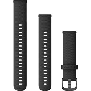
 Garmin Quick Release Accessory Band 18 mm- Black with Slate Hardware (010-12932-01)
KWD 16.500
 Garmin Huntview Plus, Preloaded microSD Cards With Hunting Management Units for Garmin Handheld GPS Devices, Wisconsin
KWD 34
 -19%
Garmin 010-01772-10 Foretrex 701 Ballistic Edition, 2 inches
KWD 140.500