- Shopping, made easy.
- /
- Get the app!
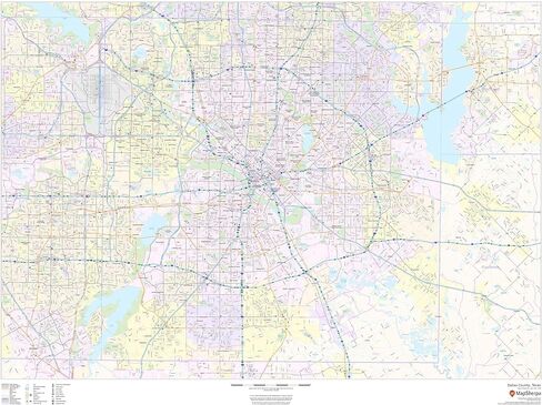
48 x 36 inches. Laminated. Flat map, tubed for shipping.
This map of Dallas County, Texas shows regional level information. Base map features include highways and major roads with labelling; neighborhood names; railways; high level land use such as parks and recreation areas, industrial areas and hospital campuses; and a selection of points of interest including transportation hubs like airports and train stations, tourist information, police stations and shopping centers. ZIP code boundaries are shown as a secondary map feature.
Scale 1:65,000
 -20%
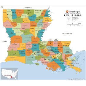
Louisiana Parishes (Counties) Map - Large - 48" x 41.75" Laminated
KWD 21.500
-20%
Louisiana Parishes (Counties) Map - Large - 48" x 41.75" Laminated
KWD 21.500
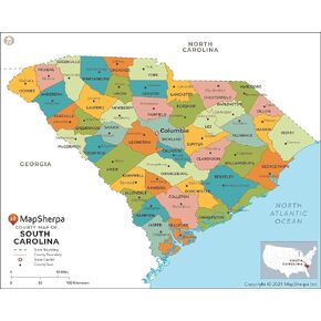 South Carolina Counties Map - Large - 48" x 38.5" Laminated
KWD 27
South Carolina Counties Map - Large - 48" x 38.5" Laminated
KWD 27
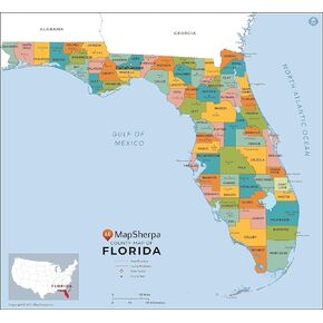 Florida Counties Map - Standard - 36" x 33.25" Laminated
KWD 23
Florida Counties Map - Standard - 36" x 33.25" Laminated
KWD 23
 -22%
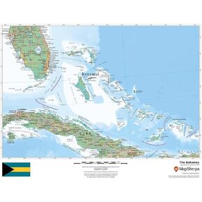
The Bahamas - 22" x 17" Rolled Canvas Wall Map
KWD 12.500
-22%
The Bahamas - 22" x 17" Rolled Canvas Wall Map
KWD 12.500