- Shopping, made easy.
- /
- Get the app!
11.25 x 14.5 inches. Printed on paper. Flat map, tubed for shipping.
This detailed reference map combines two maps in one - a regional map of the Boston metropolitan area plus a street-level map of center-city Boston. The regional map shows the area's cities and towns, highways and roads, and a variety of points of interest. Cambridge, Quincy, Salem and historic Lexington are among the neighboring cities and towns shown on this map. The highly detailed inset of central Boston shows highways, streets, parks, landmarks, and other points of interest. The North End, West End, Beacon Hill, and Chinatown are among the neighborhoods featured on this map. Also available in a large size of 29.00" high X 22.50" wide.
Created by Globe Turner, one of the leading producers of map products in the USA.
 -48%
The Land of Stories Complete Paperback Gift Set
KWD 13
-48%
The Land of Stories Complete Paperback Gift Set
KWD 13
 -25%
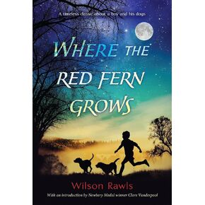
Where the Red Fern Grows
KWD 3
-25%
Where the Red Fern Grows
KWD 3
 -10%
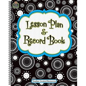
Teacher Created Resources Crazy Circles Lesson Plan & Record Book
KWD 4.500
-10%
Teacher Created Resources Crazy Circles Lesson Plan & Record Book
KWD 4.500
 Building Christian Character
KWD 7
Building Christian Character
KWD 7


