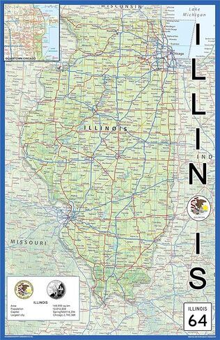
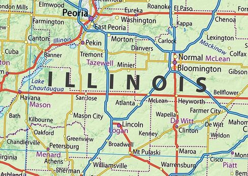
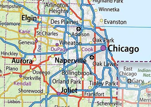
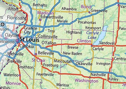
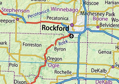
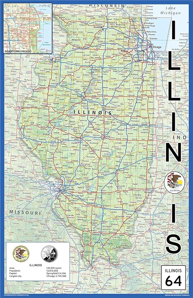
Illinois, situated in the midwestern region of the U.S and adjacent to Indiana in the east and the mighty Mississippi River in the west, is grandly titled the 'Prairie State' and stands out with its farmlands, woodlands, undulating hills and marshlands.
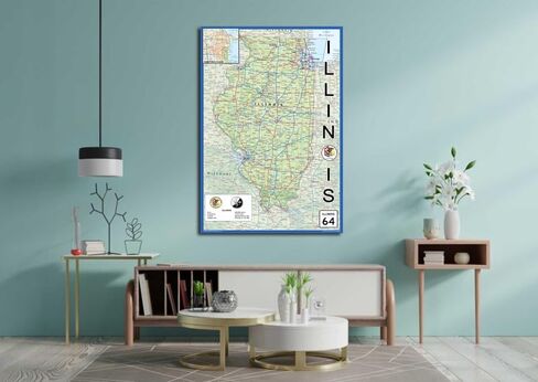
Famed for its skyscrapers, among which looms the colossal 1,451-ft. Willis Tower and the neo-Gothic Tribune Tower, the state's most densely populated cities are Chicago by Lake Michigan and Metro East sector of the Greater St. Louis, with Peoria and Rockford, plus Springfield as its capital, completing the picture. This map of Illinois brings all this stunning geography into focus, highlighting the beauty of the Prairie State and the unique features of each city.
Size - 15.1 x 23.3 Inches.
Printed onto high quality paper and laminated for durability.
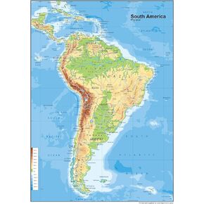 South America Physical Poster Map - 23.3 x 16.5 Inches - Paper Laminated
KWD 10.500
South America Physical Poster Map - 23.3 x 16.5 Inches - Paper Laminated
KWD 10.500
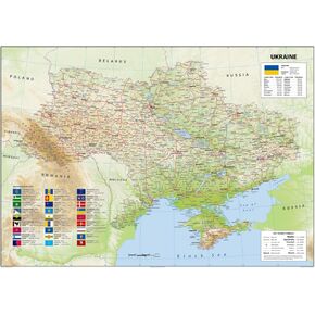 Ukraine Physical Poster Map - 23.3 x 33.1 Inches - Paper Laminated
KWD 14
Ukraine Physical Poster Map - 23.3 x 33.1 Inches - Paper Laminated
KWD 14
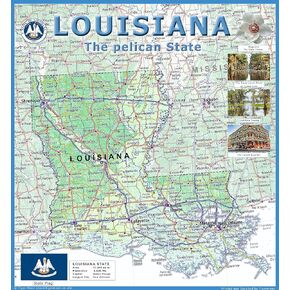 Louisiana Physical Poster Map - 24 x 24 inches - Paper Laminated
KWD 14
Louisiana Physical Poster Map - 24 x 24 inches - Paper Laminated
KWD 14
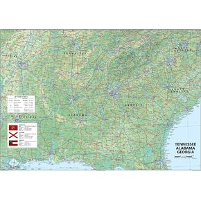 Tennessee, Alabama and Georgia Physical Poster Map - 23.3 x 16.5 Inches - Paper Laminated
KWD 10.500
Tennessee, Alabama and Georgia Physical Poster Map - 23.3 x 16.5 Inches - Paper Laminated
KWD 10.500