- Shopping, made easy.
- /
- Get the app!
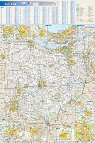
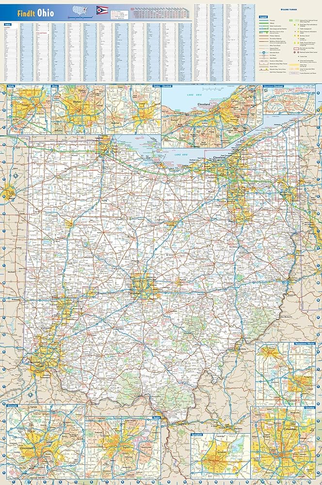
20.75 x 31.25 inches. Printed on polypropylene. The material is stronger than most papers and unlikely to crease or rip. The matte finish eliminates glare, and adds texture to the map. Ideal for display. Please note this map is NOT laminated - the page is not appropriate for dry-erase markers. Flat map, tubed for shipping.
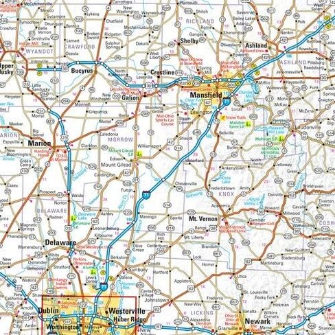
This colorful, easy-to-read state map of Ohio identifies all major thoroughfares, secondary roads, freeway interchanges, route numbers, landmarks, recreational areas, and more. Shaded relief on the state map provides a three-dimensional sense of Ohio's topography. Detailed inset maps of Akron, Canton, Cincinnati, Cleveland, Columbus, Dayton, Springfield, Toledo and Youngstown are based on the latest street information from our cartographic experts. County and city indices make it simple to locate even the smallest town.
Created by Globe Turner, one of the leading producers of map products in the USA.