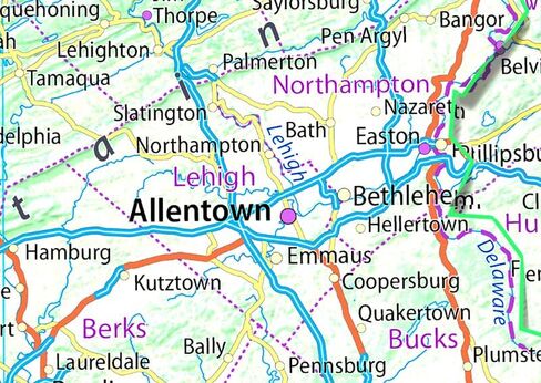
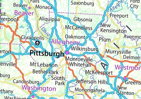
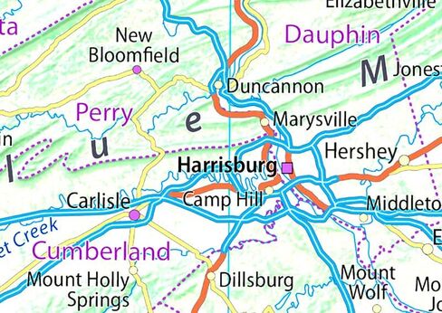
Pennsylvania, officially known as the Commonwealth of Pennsylvania, encompasses the Mid-Atlantic, Northeastern, Appalachian, and Great Lakes regions of the U.S. The southeastern Delaware Valley region is home to Philadelphia and Its terrain is dominated by the Appalachian Mountains, with the Allegheny and Pocono Mountains close by in Northeastern Pennsylvania.
Our Pennsylvania State Map showcases its geography, with easy-to-read text, and features like capital cities, rivers, major roads, towns, and bodies of water. It's perfect for any room, office, or school, and a great way to gain a comprehensive view of the country.
Size - 22.5 x 14.4 Inches.
Printed onto a high quality paper and laminated for durability.
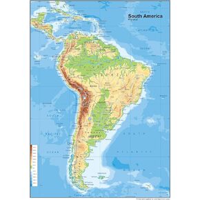 South America Physical Poster Map - 23.3 x 16.5 Inches - Paper Laminated
KWD 10.500
South America Physical Poster Map - 23.3 x 16.5 Inches - Paper Laminated
KWD 10.500
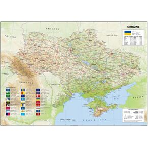 Ukraine Physical Poster Map - 23.3 x 33.1 Inches - Paper Laminated
KWD 14
Ukraine Physical Poster Map - 23.3 x 33.1 Inches - Paper Laminated
KWD 14
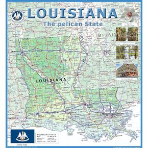 Louisiana Physical Poster Map - 24 x 24 inches - Paper Laminated
KWD 14
Louisiana Physical Poster Map - 24 x 24 inches - Paper Laminated
KWD 14
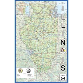 Illinois Physical State Poster Map - 15.1 x 23.3 Inches - Paper Laminated
KWD 10.500
Illinois Physical State Poster Map - 15.1 x 23.3 Inches - Paper Laminated
KWD 10.500