- Shopping, made easy.
- /
- Get the app!
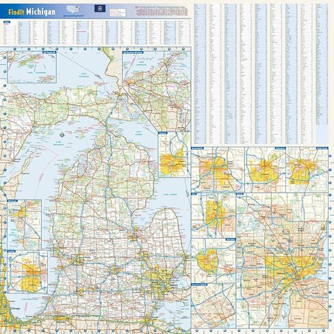
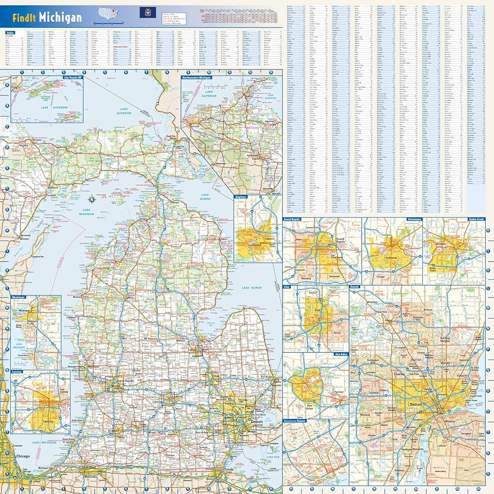
24 x 24 inches. Laminated. Flat map, tubed for shipping.
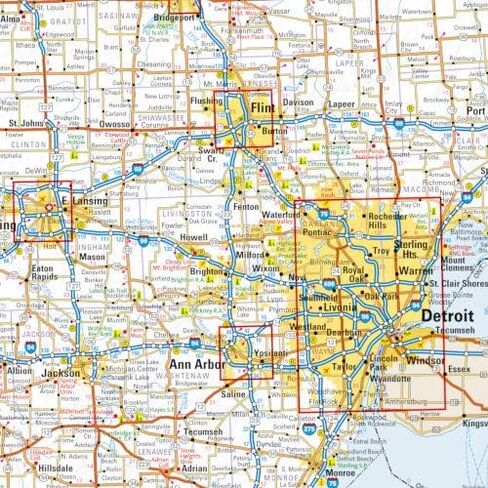
This colorful, easy-to-read state map of Michigan identifies all major thoroughfares, secondary roads, freeway interchanges, rest areas, distance markers, landmarks, recreational areas, and more. Shaded relief on the state map provides a three-dimensional sense of Michigan's topography. Detailed inset maps of Isle Royale National Park, Northwestern Michigan, Saginaw, Grand Rapids, Flint, Ann Arbor, Detroit, Kalamazoo, Battle Creek, Muskegon and Lansing are based on the latest street information from our cartographic experts. County and city indices make it simple to locate even the smallest town.
Created by Globe Turner, one of the leading producers of map products in the USA.