- Shopping, made easy.
- /
- Get the app!

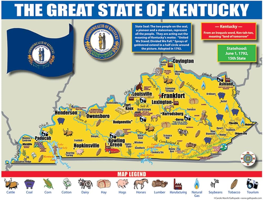
Each map has two sides. Side 1 includes: A colorful map of Ohio that includes all the major cities A map legend that includes where all the major industries are located throughout the state (corn dairy hogs manufacturing shipping soybeans tomatoes tourism) Origin of Ohio's name History of Ohio's flag and image of the flag Ohio's statehood date Ohio state seal Side 2 includes: A black & white image of all of the counties in Ohio Each map is 8.5'' X 11'' and printed glossy paper.
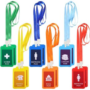 12 Packs Hall Pass Lanyards Plastic Unbreakable School Passes Set Bright Color PVC Classrooms Passes for Library Office Nurse Restroom Teachers Supplies
KWD 7.500
12 Packs Hall Pass Lanyards Plastic Unbreakable School Passes Set Bright Color PVC Classrooms Passes for Library Office Nurse Restroom Teachers Supplies
KWD 7.500
 -7%
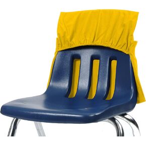
Seat Sack Elastic Back Storage Pocket, 12 to 17 Inches, Blue
KWD 6.500
-7%
Seat Sack Elastic Back Storage Pocket, 12 to 17 Inches, Blue
KWD 6.500
 -20%
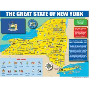
Publishing Group New York State Map for Students - Pack of 30 (9780635106599)
KWD 6
-20%
Publishing Group New York State Map for Students - Pack of 30 (9780635106599)
KWD 6
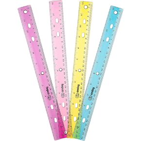 Ruler 12 Inch/ 30 CM Jeweltone, Inches and Centimeters Plastic Straight Edge Rulers School Supplies, Standard Ruler for Artists Kids and Adults, Purple, Pink, Green, and Blue, 4 Pack – by Enday
KWD 3
Ruler 12 Inch/ 30 CM Jeweltone, Inches and Centimeters Plastic Straight Edge Rulers School Supplies, Standard Ruler for Artists Kids and Adults, Purple, Pink, Green, and Blue, 4 Pack – by Enday
KWD 3