onX Hunt Premium App: Digital Map Membership for Phone, Tablet, and Computer - Color Coded Land Ownership - Google Imagery - 24k Topo - Hunting Specific Data - Updates for onX Hunt Chip
Special Features
Digital hunting maps for phone, tablet and computer
Access to a single state for 1 year
Most accurate land ownership info & real-time updates
Save maps for offline use when out of cell service
Physical redemption code: 1-year access starts when code from packaging is redeemed
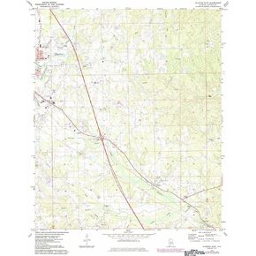
YellowMaps Clanton East AL topo map, 1:24000 Scale, 7.5 X 7.5 Minute, Historical, 1972, Updated 1984, 26.7 x 21.9 in
KWD 12 .500
Beartooth Publishing Wind River Range South, Wyoming Topographic Shaded Relief Outdoor Recreation Map
KWD 8
Outdoor Trail Maps LLC Hunter-Fryingpan/Mount Massive Wilderness - Colorado Topographic Hiking Map (2018)
KWD 4
YellowMaps Dyas AL topo map, 1:50000 Scale, 15 X 15 Minute, Historical, 2003, 29.1 x 22.1 in
KWD 16 .500
{"error":"Error","cart_limit":"You have too many items in your cart.","prod_limit":"You cannot add any more of this item"}
{"email":"Please enter your email address","email_i":"Invalid email address"}
Copyright © Tilga 2025, all rights reserved.
 YellowMaps Clanton East AL topo map, 1:24000 Scale, 7.5 X 7.5 Minute, Historical, 1972, Updated 1984, 26.7 x 21.9 in
KWD 12.500
 Beartooth Publishing Wind River Range South, Wyoming Topographic Shaded Relief Outdoor Recreation Map
KWD 8
 Outdoor Trail Maps LLC Hunter-Fryingpan/Mount Massive Wilderness - Colorado Topographic Hiking Map (2018)
KWD 4
 YellowMaps Dyas AL topo map, 1:50000 Scale, 15 X 15 Minute, Historical, 2003, 29.1 x 22.1 in
KWD 16.500