- Shopping, made easy.
- /
- Get the app!
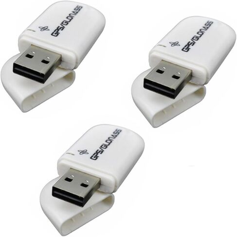
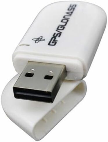
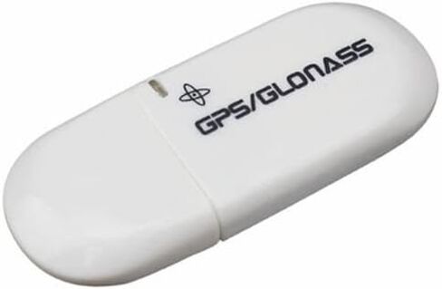
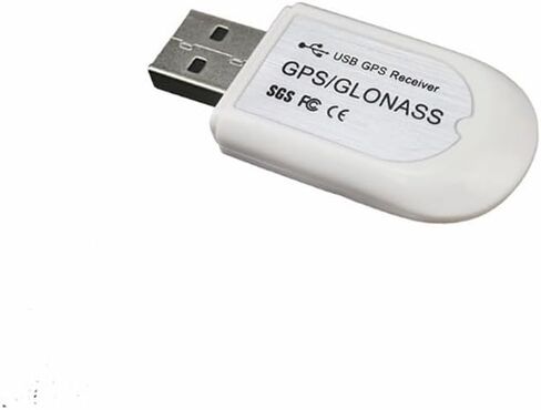
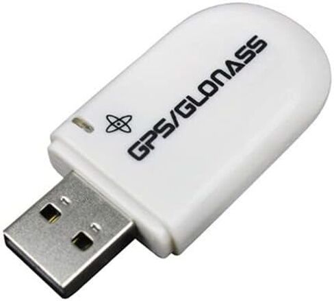
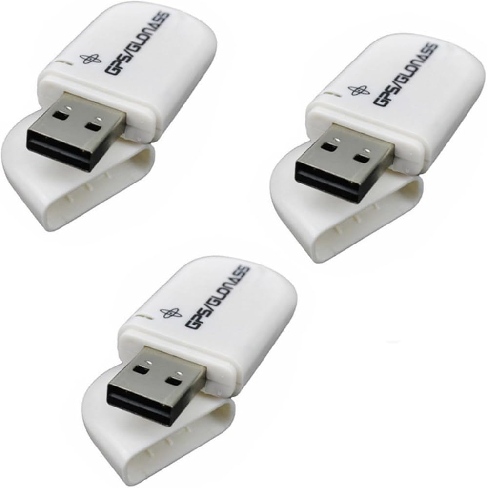
Specification:
Supported Operating Systems: Windows 10/8/7/Vista/XP/CE
Support Google Earth
C/A code, 1.023MHz stream
Receive Band: L1 [1575.42MHz] Tracking Channels: 56
Support DGPS [WAAS, EGNOS and MSAS]
Positioning Performance: 2D plane: 5m [average]
2D Plane: 3.5m [average], has DGPS auxiliary.
Drift:
Timing Accuracy: 1us
Reference Coordinate System: WGS-84
Maximum Altitude: 18,000 m
Maximum Speed: 500m / s
Acceleration:
Tracking Sensitivity:-162dBm
Acquisition Sensitivity:-160dBm
Cold Start Time: 29s [average]
Warm Start Time: 28s [average]
Hot Start Time: 1s [average]
Recapture Time: 0.1s [average]
Operating Temperature: -30 to +80
Support System:
Linux, Windows ME/98/CE, server 2003, server 2008, vista, XP, Windows 7, Windows 8,Windows 10, all windows series system.
GGA: Time, Location, Location Type
GLL: Longitude, Latitude, UTC Time
GSA: GPS receiver operation mode, positioning satellite, DOP value GSV: visible GPS satellite information, elevation, azimuth, signal-to-noise ratio (SNR) RMC: time, date, position, speed
VTG: Ground Velocity Information
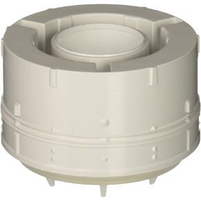 American Standard 83140-00.000 Bathtub, NO Finish
KWD 13.500
American Standard 83140-00.000 Bathtub, NO Finish
KWD 13.500
 MAHLE Original OS32332 Engine Oil Pan Gasket Set
KWD 14.500
MAHLE Original OS32332 Engine Oil Pan Gasket Set
KWD 14.500
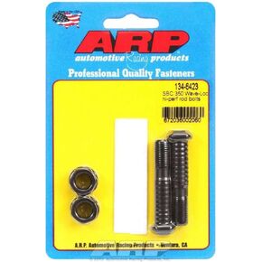 ARP 134-6423 Rod Bolt Kit for Small Block Chevy 305/307/350, (Pack of 2)
KWD 5.500
ARP 134-6423 Rod Bolt Kit for Small Block Chevy 305/307/350, (Pack of 2)
KWD 5.500
 -13%
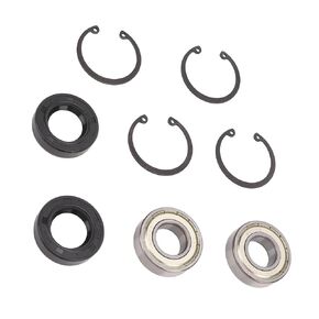
2 Sets Rear Axle Shaft Bearing Seal Kit Replacement for EZGO Marathon Medalist TXT Electric Club car 1978-up, EZGO 2 Cycle Gas Club car 1976-1994, MPT-Workhorse1988-2019
KWD 6.500
-13%
2 Sets Rear Axle Shaft Bearing Seal Kit Replacement for EZGO Marathon Medalist TXT Electric Club car 1978-up, EZGO 2 Cycle Gas Club car 1976-1994, MPT-Workhorse1988-2019
KWD 6.500