- Shopping, made easy.
- /
- Get the app!
Waterproof, tear-resistant topographic hiking map covering all of the hiking trails in the Rawah Wilderness and State Forest State Park in northern Colorado and the immediate surrounding areas. The front side of the map covers the northern portion of the wilderness and state park, including the Medicine Bow Trail, Shipman Park, East Sand Hills, Link and McIntyre Trails, etc. The back of the map shows south side of the wilderness including the Rawah Lakes, Camp Lake, Blue Lake Trail, Cameron Pass and all of the trails in State Forest State Park south of Cameron Pass and more.
 Sangre de Cristo Wilderness NORTH - Colorado Topographic Hiking Map (2022)
KWD 4
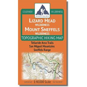
 Lizard Head - Mount Sneffels Wilderness - Colorado Topographic Hiking Map (2018)
KWD 4
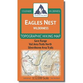
 Outdoor Trail Maps LLC Eagles Nest Wilderness - Colorado Topographic Hiking Map (2018)
KWD 4
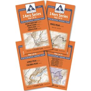
 Outdoor Trail Maps Colorado 14ers Series Front-Tenmile-Mosquito Range Map Pack
KWD 9.500