- Shopping, made easy.
- /
- Get the app!
The Taos Wilderness Areas Topographic Hiking Map shows the trailheads and hiking trails of the Wheeler Peak Wilderness, Columbine-Hondo Wilderness, Latir Peak Wilderness and the northern portion of the Carson National Forest in northern New Mexico.
 Sangre de Cristo Wilderness NORTH - Colorado Topographic Hiking Map (2022)
KWD 4
 Rawah Wilderness - Colorado Topographic Hiking Map (2018)
KWD 4
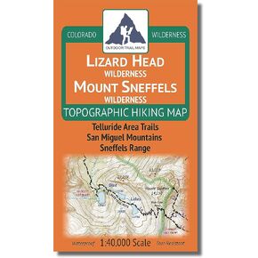
 Lizard Head - Mount Sneffels Wilderness - Colorado Topographic Hiking Map (2018)
KWD 4
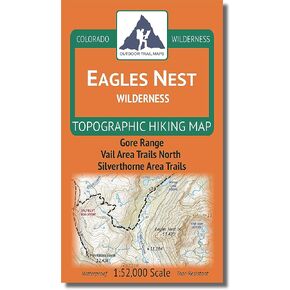
 Outdoor Trail Maps LLC Eagles Nest Wilderness - Colorado Topographic Hiking Map (2018)
KWD 4