- Shopping, made easy.
- /
- Get the app!
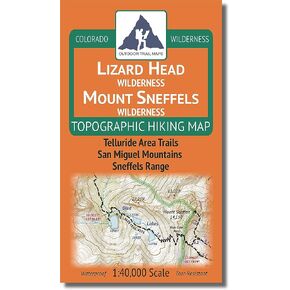
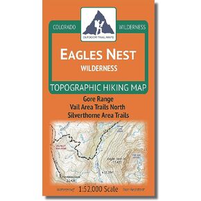
All 12 maps of the latest product release from Outdoor Trail Maps LLC - The Colorado Wilderness Map Series, Vol. 1 - plus the 2018 Rocky Mountain National Park Map sold as a complete set. All waterproof, tear-resistant topographic hiking maps covering 16+ wilderness areas across Colorado, this set contains the following map titles: Rocky Mountain National Park 1:50,000 Scale, Collegiate Peaks Wilderness 1:52,000 Scale, Comanche Peak Wilderness 1:40,000 Scale, Eagles Nest Wilderness 1:52,000 Scale, Flat Tops Wilderness 1:60,000 Scale, Holy Cross Wilderness 1:48,000 Scale, Hunter-Fryingpan / Mount Massive Wilderness 1:44,000 Scale, Indian Peaks / James Peak Wilderness 1:48,000 Scale, Lizard Head / Mount Sneffels Wilderness 1:40,000 Scale, Lost Creek Wilderness 1:48,000 Scale, Maroon Bells-Snowmass Wilderness 1:50,000 Scale, Mount Evans Wilderness 1:40,000 Scale and Rawah Wilderness 1:44,000 Scale.
 Sangre de Cristo Wilderness NORTH - Colorado Topographic Hiking Map (2022)
KWD 4
 Rawah Wilderness - Colorado Topographic Hiking Map (2018)
KWD 4
 Lizard Head - Mount Sneffels Wilderness - Colorado Topographic Hiking Map (2018)
KWD 4
 Outdoor Trail Maps LLC Eagles Nest Wilderness - Colorado Topographic Hiking Map (2018)
KWD 4