- Shopping, made easy.
- /
- Get the app!
 YellowMaps Clanton East AL topo map, 1:24000 Scale, 7.5 X 7.5 Minute, Historical, 1972, Updated 1984, 26.7 x 21.9 in
KWD 12.500
YellowMaps Clanton East AL topo map, 1:24000 Scale, 7.5 X 7.5 Minute, Historical, 1972, Updated 1984, 26.7 x 21.9 in
KWD 12.500
 Boulder County Recreation Topographic Map
KWD 8.500
Boulder County Recreation Topographic Map
KWD 8.500
 Outdoor Trail Maps LLC Eagles Nest Wilderness - Colorado Topographic Hiking Map (2018)
KWD 4
Outdoor Trail Maps LLC Eagles Nest Wilderness - Colorado Topographic Hiking Map (2018)
KWD 4
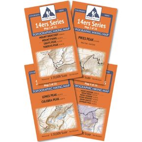 Outdoor Trail Maps Colorado 14ers Series Front-Tenmile-Mosquito Range Map Pack
KWD 9
Outdoor Trail Maps Colorado 14ers Series Front-Tenmile-Mosquito Range Map Pack
KWD 9
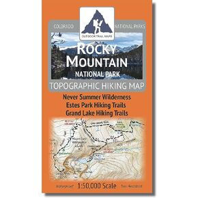 Rocky Mountain National Park - 2021 Topographic Hiking Map
KWD 4.500
Rocky Mountain National Park - 2021 Topographic Hiking Map
KWD 4.500
 Collegiate Peaks Wilderness - Colorado Topographic Hiking Map (2018)
KWD 4
Collegiate Peaks Wilderness - Colorado Topographic Hiking Map (2018)
KWD 4
 Outdoor Trail Maps LLC Lost Creek Wilderness - Colorado Topographic Hiking Map (2022)
KWD 4
Outdoor Trail Maps LLC Lost Creek Wilderness - Colorado Topographic Hiking Map (2022)
KWD 4
 Outdoor Trail Maps Maroon Bells-Snowmass Wilderness - Colorado Topographic Hiking Map (2022)
KWD 4
Outdoor Trail Maps Maroon Bells-Snowmass Wilderness - Colorado Topographic Hiking Map (2022)
KWD 4
 YellowMaps Dyas AL topo map, 1:50000 Scale, 15 X 15 Minute, Historical, 2003, 29.1 x 22.1 in
KWD 16.500
YellowMaps Dyas AL topo map, 1:50000 Scale, 15 X 15 Minute, Historical, 2003, 29.1 x 22.1 in
KWD 16.500
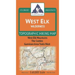 West Elk Wilderness - Colorado Topographic Hiking Map (2019)
KWD 4
West Elk Wilderness - Colorado Topographic Hiking Map (2019)
KWD 4
 Beartooth Publishing Wind River Range Trail Map
KWD 6
Beartooth Publishing Wind River Range Trail Map
KWD 6
 Flat Tops Wilderness - Colorado Topographic Hiking Map (2018)
KWD 4
Flat Tops Wilderness - Colorado Topographic Hiking Map (2018)
KWD 4
 YellowMaps Lake Norman North NC topo map, 1:24000 Scale, 7.5 X 7.5 Minute, Historical, 1970, Updated 1992, 26.8 x 21.8 in
KWD 12.500
YellowMaps Lake Norman North NC topo map, 1:24000 Scale, 7.5 X 7.5 Minute, Historical, 1970, Updated 1992, 26.8 x 21.8 in
KWD 12.500
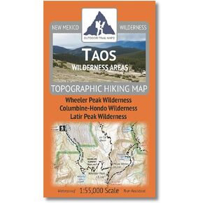 Outdoor Trail Maps Taos Wilderness Areas - New Mexico Hiking (2023)
KWD 4.500
Outdoor Trail Maps Taos Wilderness Areas - New Mexico Hiking (2023)
KWD 4.500
 YellowMaps Peoria IL topo map, 1:250000 Scale, 1 X 2 Degree, Historical, 1990, Updated 1990, 22 x 33.6 in
KWD 16.500
YellowMaps Peoria IL topo map, 1:250000 Scale, 1 X 2 Degree, Historical, 1990, Updated 1990, 22 x 33.6 in
KWD 16.500
 Holy Cross Wilderness - Colorado Topographic Hiking Map (2018)
KWD 4
Holy Cross Wilderness - Colorado Topographic Hiking Map (2018)
KWD 4
 YellowMaps Port Arthur North TX topo map, 1:24000 Scale, 7.5 X 7.5 Minute, Historical, 1993, 27.2 x 23.2 in
KWD 12.500
YellowMaps Port Arthur North TX topo map, 1:24000 Scale, 7.5 X 7.5 Minute, Historical, 1993, 27.2 x 23.2 in
KWD 12.500
 YellowMaps Merchants Millpond NC topo map, 1:24000 Scale, 7.5 X 7.5 Minute, Historical, 1981, Updated 1981, 26.9 x 21.9 in
KWD 12.500
YellowMaps Merchants Millpond NC topo map, 1:24000 Scale, 7.5 X 7.5 Minute, Historical, 1981, Updated 1981, 26.9 x 21.9 in
KWD 12.500
 YellowMaps Allentown East PA topo map, 1:24000 Scale, 7.5 X 7.5 Minute, Historical, 1964, Updated 1984, 27 x 22 in
KWD 12.500
YellowMaps Allentown East PA topo map, 1:24000 Scale, 7.5 X 7.5 Minute, Historical, 1964, Updated 1984, 27 x 22 in
KWD 12.500
 YellowMaps Castle Dome Peak AZ topo map, 1:24000 Scale, 7.5 X 7.5 Minute, Historical, 1990, Updated 1990, 26.8 x 22 in
KWD 12.500
YellowMaps Castle Dome Peak AZ topo map, 1:24000 Scale, 7.5 X 7.5 Minute, Historical, 1990, Updated 1990, 26.8 x 22 in
KWD 12.500
 YellowMaps Asheboro NC topo map, 1:62500 Scale, 15 X 15 Minute, Historical, 1957, Updated 1959, 21 x 17 in
KWD 12.500
YellowMaps Asheboro NC topo map, 1:62500 Scale, 15 X 15 Minute, Historical, 1957, Updated 1959, 21 x 17 in
KWD 12.500
 YellowMaps Mt Shasta CA topo map, 1:24000 Scale, 7.5 X 7.5 Minute, Historical, 1998, Updated 2003, 26.7 x 21.9 in
KWD 16.500
YellowMaps Mt Shasta CA topo map, 1:24000 Scale, 7.5 X 7.5 Minute, Historical, 1998, Updated 2003, 26.7 x 21.9 in
KWD 16.500
 Garmin Topo Alaska Enhanced, Garmin MicroSD/SD
KWD 32.500
Garmin Topo Alaska Enhanced, Garmin MicroSD/SD
KWD 32.500
 Angeles National Forest Map (National Geographic Trails Illustrated Map, 811)
KWD 6.500
Angeles National Forest Map (National Geographic Trails Illustrated Map, 811)
KWD 6.500
 Mount Jefferson, Mount Washington Map (National Geographic Trails Illustrated Map, 819)
KWD 6.500
Mount Jefferson, Mount Washington Map (National Geographic Trails Illustrated Map, 819)
KWD 6.500
 -28%
Backcountry: The Game of Wilderness Survival: Great Smoky Mountains Edition
KWD 10.500
-28%
Backcountry: The Game of Wilderness Survival: Great Smoky Mountains Edition
KWD 10.500
 The Printed Image Glacier National Park Bandanas
KWD 5.500
The Printed Image Glacier National Park Bandanas
KWD 5.500
![Mount Rogers National Recreation Area Map [Jefferson National Forest] (National Geographic Trails Illustrated Map, 786)](https://cdn1.tilga.com/md/prod/2/1214/3/61394450.60486.jpg) Mount Rogers National Recreation Area Map [Jefferson National Forest] (National Geographic Trails Illustrated Map, 786)
KWD 6.500
Mount Rogers National Recreation Area Map [Jefferson National Forest] (National Geographic Trails Illustrated Map, 786)
KWD 6.500
 Rocky Mountain National Park Hiking Map
KWD 6.500
Rocky Mountain National Park Hiking Map
KWD 6.500