- Shopping, made easy.
- /
- Get the app!
This educational political map of the USA for kids between grades 4 and 12 represents the best of National Geographic products - rich in information and learning and pleasing to the eye. This product adresses the unique needs of students as they advance their understanding of the world.
This is an ideal complement to National Geographic's Kid's Political World Education map to ground understanding of USA's political and physical reality in the world. This helps with the important critical thinking skills our students need, while portraying how our world is shaped without emphasis on human-defined boundaries. Designed specifically for elementary school-age children, an appropriate level of detail is included for this age group that goes beyond what pre-school children can absorb, yet does not overwhelm.
National Geographic's graded-series of maps are the first to address the unique needs of K-12 students as they advance their understanding of our World.
National Geographic's maps are the standard by which all other reference maps are measured. The maps are meticulously researched and adhere to National Geographic's convention of making independent, apolitical decisions based on extensive research using multiple authoritative sources.
Printed on thick paper suitable for display on your home, school or office wall. Your map is rolled and packaged in a sturdy tube to protect it during shipment.
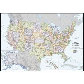 National Geographic Maps: United States Contemporary Wall Map - Compact - 23.25 x 16 inches
KWD 5
National Geographic Maps: United States Contemporary Wall Map - Compact - 23.25 x 16 inches
KWD 5
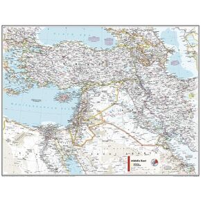 National Geographic Maps: Middle East Wall Map - Compact - 21.5 x 16.25 inches - Front Lamination
KWD 7.500
National Geographic Maps: Middle East Wall Map - Compact - 21.5 x 16.25 inches - Front Lamination
KWD 7.500
 -6%
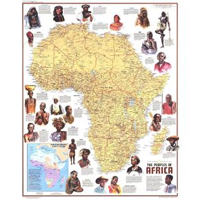
National Geographic: Peoples of Africa 1971 - Historic Wall Map Series - 24.5 x 22.5 - Laminated
KWD 16.500
-6%
National Geographic: Peoples of Africa 1971 - Historic Wall Map Series - 24.5 x 22.5 - Laminated
KWD 16.500
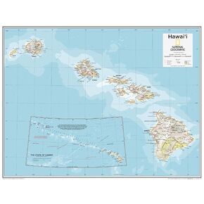 National Geographic Maps: Hawai'i Wall Map - Compact - 21 x 16 inches - Front Lamination
KWD 9.500
National Geographic Maps: Hawai'i Wall Map - Compact - 21 x 16 inches - Front Lamination
KWD 9.500


