- Shopping, made easy.
- /
- Get the app!
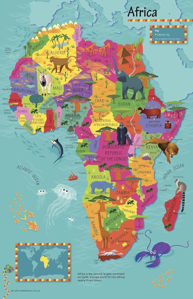
This highly illustrated pictorial map is designed to take children on a journey of discovery around the countries of Africa. The mapping is clear, colourful and highly informative and shows countries and capital cities. Stunning illustrations are used to depict themes such as national emblems, customs, food, birds, animals, buildings and sports to help younger readers gain an understanding of peoples around the world. The perfect introduction to maps for 4-8 year olds. Illustrated by Steve Evans. 19.5 x 30 inches. Printed on high quality thick paper strong enough for display on your wall. Your map is rolled and packaged in a sturdy tube to protect it during shipment.
 Blulu 2 Pcs Magnetic Locker Mirror Small Real Glass Mirror for School Locker Rectangular Locker Accessories Magnetic Makeup Mirror for Bathroom Household Refrigerator Cabinet(4 x 5.8 Inches)
KWD 5
Blulu 2 Pcs Magnetic Locker Mirror Small Real Glass Mirror for School Locker Rectangular Locker Accessories Magnetic Makeup Mirror for Bathroom Household Refrigerator Cabinet(4 x 5.8 Inches)
KWD 5
 Mavoro Magnetic Locker Mirror | 7x9in Acrylic Mirror - Unbreakable Mirror | Sleek Frameless Mirror | Glassless Safety Kids Mirror (1 Pack)
KWD 6.500
Mavoro Magnetic Locker Mirror | 7x9in Acrylic Mirror - Unbreakable Mirror | Sleek Frameless Mirror | Glassless Safety Kids Mirror (1 Pack)
KWD 6.500
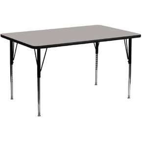 Flash Furniture Wren 24''W x 60''L Rectangular Oak HP Laminate Activity Table - Standard Height Adjustable Legs
KWD 70
Flash Furniture Wren 24''W x 60''L Rectangular Oak HP Laminate Activity Table - Standard Height Adjustable Legs
KWD 70
 Teacher Created Resources Lemon Zest Mini Stickers, Pack of 378
KWD 2.500
Teacher Created Resources Lemon Zest Mini Stickers, Pack of 378
KWD 2.500