- Shopping, made easy.
- /
- Get the app!
Once you get far enough away from the ever spreading glow of urban areas and allow your eyes to adjust, a so-called "dark night" looks more like an explosion of illumination. Ancient astronomers peered into the night sky and imagined glittering jewels set in a crystal sphere slowly revolving around Earth from east to west.
Every culture has drawn pictures in the stars, creating constellations that represent animals or mythical figures. This map of the sky as seen from the northern hemisphere features the 88 constellations today recognized by the International Astronomical Union (IAU). These constellations are not just pictures but basic units that partition the sky. As seen on this map, main stars in a constellation have Greek letter designations - alpha for the brightest, beta for the second brightest, and onward. Galaxies, star clusters and nebulae are designated by the letter M, for Messier Catalogue objects, or NGC for New General Catalogue, followed by their number designation.
This map is an attractive product for the stargazer and budding astronomer. It makes an essential companion to Southern Sky: Charting the Heavens, and its size makes it perfect for a gallery wall.
This map is found in National Geographic's 10th Edition World Atlas, published to mark the 100th anniversary of National Geographic Cartography, and is now available as a stand alone product.
Your laminated map has a glossy finish so that you can use dry erase markers on the map to highlight features, make plans, and share unique information with others. Lamination is also extremely durable, resistant to folding or ripping.
Your map is rolled and packaged in a sturdy tube to protect it during shipment.
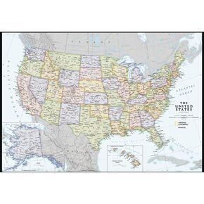 National Geographic Maps: United States Contemporary Wall Map - Compact - 23.25 x 16 inches
KWD 5
National Geographic Maps: United States Contemporary Wall Map - Compact - 23.25 x 16 inches
KWD 5
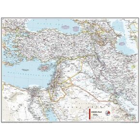 National Geographic Maps: Middle East Wall Map - Compact - 21.5 x 16.25 inches - Front Lamination
KWD 7.500
National Geographic Maps: Middle East Wall Map - Compact - 21.5 x 16.25 inches - Front Lamination
KWD 7.500
 -6%
National Geographic: Peoples of Africa 1971 - Historic Wall Map Series - 24.5 x 22.5 - Laminated
KWD 16.500
-6%
National Geographic: Peoples of Africa 1971 - Historic Wall Map Series - 24.5 x 22.5 - Laminated
KWD 16.500
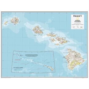 National Geographic Maps: Hawai'i Wall Map - Compact - 21 x 16 inches - Front Lamination
KWD 9.500
National Geographic Maps: Hawai'i Wall Map - Compact - 21 x 16 inches - Front Lamination
KWD 9.500


