- Shopping, made easy.
- /
- Get the app!

Each map has two sides. Side 1 includes: A colorful map of New Hampshire that includes all the major cities A map legend that includes where all the major industries are located throughout the state Origin of New Hampshire's name History of New Hampshire's flag and image of the flag New Hampshire's statehood date New Hampshire state seal Side 2 includes: A black & white image of all of the counties in New Hampshire Each map is 8.5'' X 11'' and printed glossy paper.
 -18%
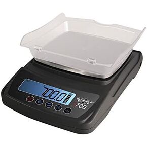
My Weigh iBalance i700 Table Top Precision Digital Scale
KWD 24.500
-18%
My Weigh iBalance i700 Table Top Precision Digital Scale
KWD 24.500
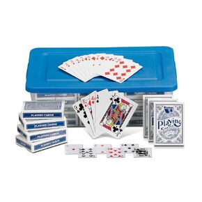 hand2mind Standard Index Playing Cards with Storage Tote, Teacher Supplies, Classroom Supplies for Teachers Elementary, Deck of Cards for Kids, Playing Cards Bulk, Poker Cards (Pack of 30)
KWD 25
hand2mind Standard Index Playing Cards with Storage Tote, Teacher Supplies, Classroom Supplies for Teachers Elementary, Deck of Cards for Kids, Playing Cards Bulk, Poker Cards (Pack of 30)
KWD 25
 -20%
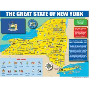
Publishing Group New York State Map for Students - Pack of 30 (9780635106599)
KWD 6
-20%
Publishing Group New York State Map for Students - Pack of 30 (9780635106599)
KWD 6
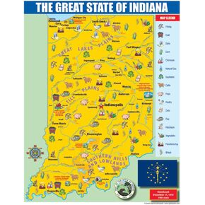 Gallopade Publishing Group Indiana State Map for Students - Pack of 30 (9780635106414)
KWD 6
Gallopade Publishing Group Indiana State Map for Students - Pack of 30 (9780635106414)
KWD 6
