- Shopping, made easy.
- /
- Get the app!
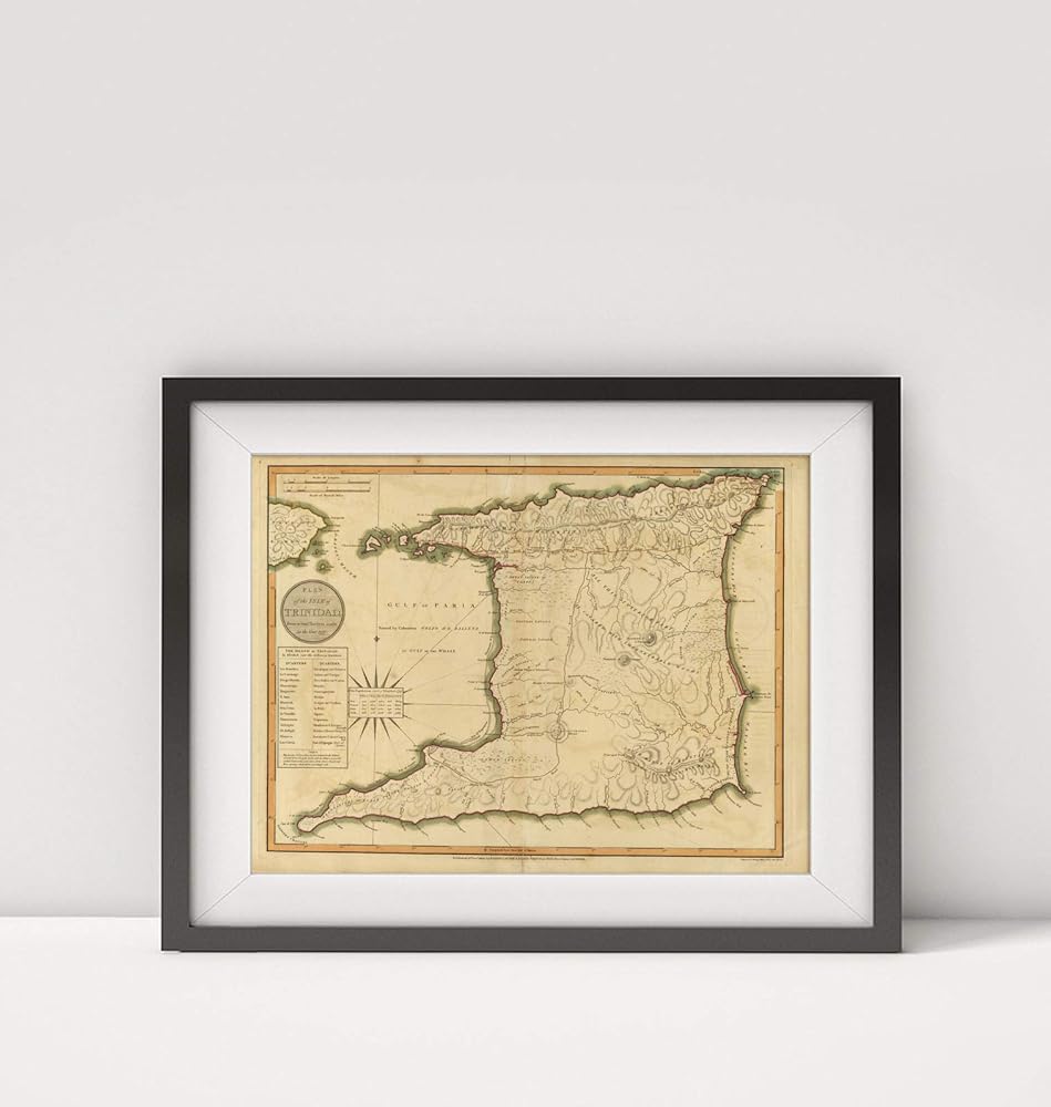
World Atlas: Plan of the isle of Trinidad, from actual surveys made in the year 1797. Published 12th Decr. 1800 by Robert Laurie & James Whittle, No. 53 Fleet Street, London. Engraved by George Allen, 19 Shoe Lane, Fleet Str. | (A new universal atlas, exhibiting all the empires, kingdoms, states, republics, &c. &c. in the whole World; being a complete collection of the most approved maps extant; corrected with the greatest care, and augmented from the last edition of D'Anville and Robert (de Vaugondy) with many improvements by Major James Rennel, and other eminent geographers, including all the tracks and new discoveries of the British circumnavigators, Biron, Wallis, Carteret, Captain James Cook, Vancouver, Perouse, &c. &c. 6th Ed. ... London, R. Laurie & J. Whittle, 1804) Hand colored engraved map. Relief shown by hachures. Includes tables of political divisions (quarters) and population. Unlike other maps in the Collection copy of the atlas, this one is laid in and it lacks a number printed in dark ink (usually on verso) -- in this copy it's written in pencil.
 Organizer, 10-Shelf, Red, 17" H x 21" W x 12-7/8"D, 1 Unit
KWD 22.500
Organizer, 10-Shelf, Red, 17" H x 21" W x 12-7/8"D, 1 Unit
KWD 22.500
 36 Pack Flexible Ruler 12 Inch, Plastic Clear Bendable Rulers, Unbreakable Clear Rulers- Shatterproof Bendy Straight Ruler for School Classroom, Home, or Office
KWD 5
36 Pack Flexible Ruler 12 Inch, Plastic Clear Bendable Rulers, Unbreakable Clear Rulers- Shatterproof Bendy Straight Ruler for School Classroom, Home, or Office
KWD 5
 TREND enterprises, Inc. Sea Buddies Desk Toppers Name Plates Variety Pack, Pack of 32
KWD 2.500
TREND enterprises, Inc. Sea Buddies Desk Toppers Name Plates Variety Pack, Pack of 32
KWD 2.500
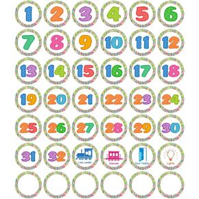 Line Up Spots for Classroom Floor, 42 Pcs 4 inch Colorful Number Spot Markers Stickers Line Up Dots Floor Decals for Preschool, Kindergarten, Elementary Classroom
KWD 4.500
Line Up Spots for Classroom Floor, 42 Pcs 4 inch Colorful Number Spot Markers Stickers Line Up Dots Floor Decals for Preschool, Kindergarten, Elementary Classroom
KWD 4.500