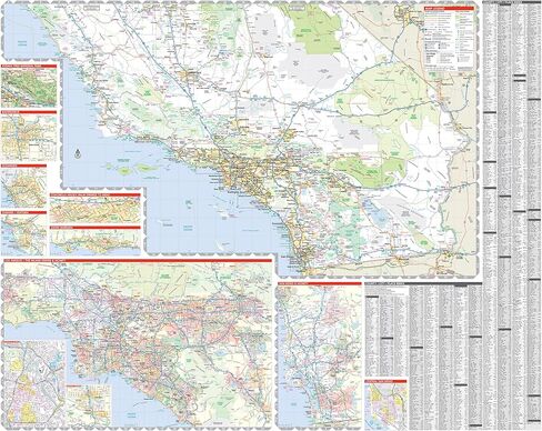
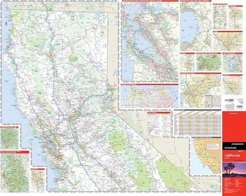
Clearly labeled Interstate, U.S., state, and county highways
40% larger map with a bigger type size than the Rand McNally Folded Map
Indications of county boundaries, schools, shopping malls, parks, golf courses, hospitals, airports, and points of interest
Mileage and driving times map
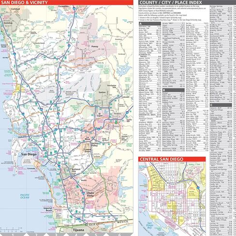
Detailed index
Copyright 2023
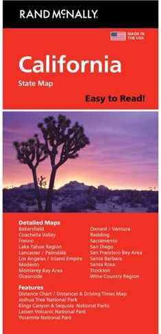
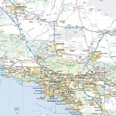
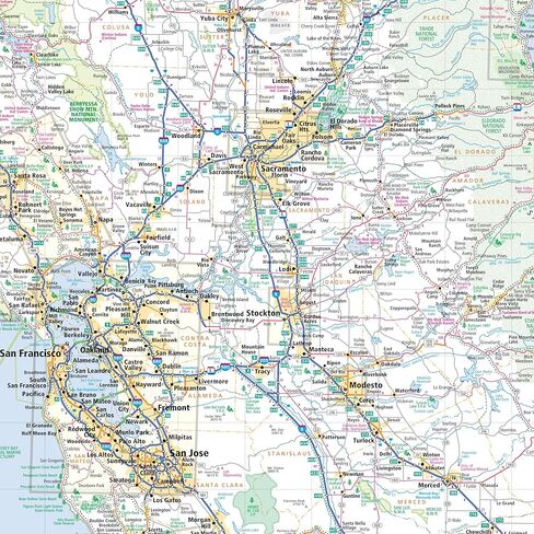
Coverage Area Detailed maps of: Bakersfield, Fresno, Joshua Tree National Park, Kings Canyon Natl Park & Sequoia Natl Park, Lake Tahoe Region, Lancaster/Palmdale, Los Angeles, Modesto, Monterey/Salinas, Oceanside, Oxnard/Ventura, Palm Springs, Sacramento, San Diego
Description
Rand McNally's Easy To Read State Folded Map is a must-have for anyone traveling in and around California, offering unbeatable accuracy and reliability at a great price. Our trusted cartography shows all Interstate, U.S., state, and county highways, along with clearly indicated parks, points of interest, airports, county boundaries, and streets. The easy-to-use legend and detailed index make for quick and easy location of destinations. You'll see why Rand McNally folded maps have been the trusted standard for years.