- Shopping, made easy.
- /
- Get the app!
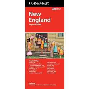
Rand McNally's Easy To Read State Folded Map is a must-have for anyone traveling, offering unbeatable accuracy and reliability at a great price. Our trusted cartography shows all Interstate, U.S., state, and county highways, along with clearly indicated parks, points of interest, airports, county boundaries, and streets. The easy-to-use legend and detailed index make for quick and easy location of destinations. You'll see why Rand McNally folded maps have been the trusted standard for years. • Regularly updated, full-color maps.