- Shopping, made easy.
- /
- Get the app!
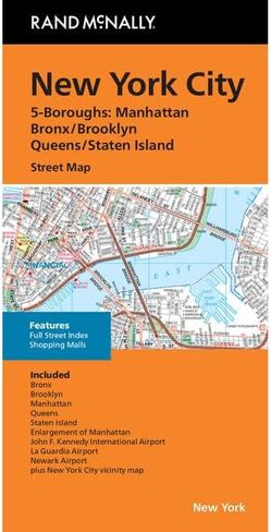
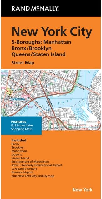
Rand McNally's folded map for New York City 5 Boroughs: Manhattan/Bronx/Brooklyn/Queens/Staten Island is a must-have for anyone traveling in and around this part of New York, offering unbeatable accuracy and reliability at a great price. Our trusted cartography shows all Interstate, U.S., state, and county highways, along with clearly indicated parks, points of interest, airports, county boundaries, and streets. The easy-to-use legend and detailed index make for quick and easy location of destinations. You'll see why Rand McNally folded maps have been the trusted standard for years.