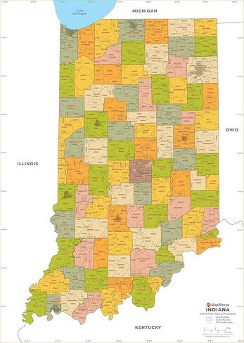
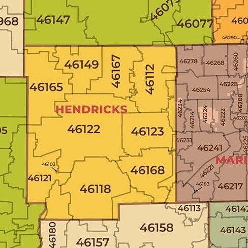
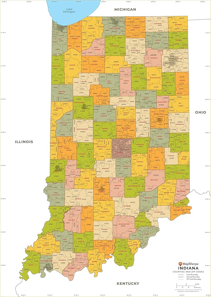
THE HOOSIER STATE: The map shows the 92 counties of Indiana and the borders of the 773 zip codes across the Hoosier State.
CREATED EXCLUSIVELY: Map has been created for MapSherpa, and designed for business or reference use.
CREATED EXCLUSIVELY: Map has been created for MapSherpa, and designed for business or reference use.
36 x 50.75 inches. Laminated. Flat map, tubed for shipping.
Description
36 x 50.75 inches. Laminated. Flat map, tubed for shipping.
This map has been created exclusively for MapSherpa, and designed for business or reference use. Clear and clean colors & fonts matched with cartographic research makes this Indiana Zip Code Map with Counties easily readable and useful. The map shows the 92 counties of Indiana and the borders of the 773 zip codes across the Hoosier State.