- Shopping, made easy.
- /
- Get the app!
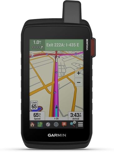
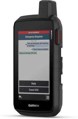
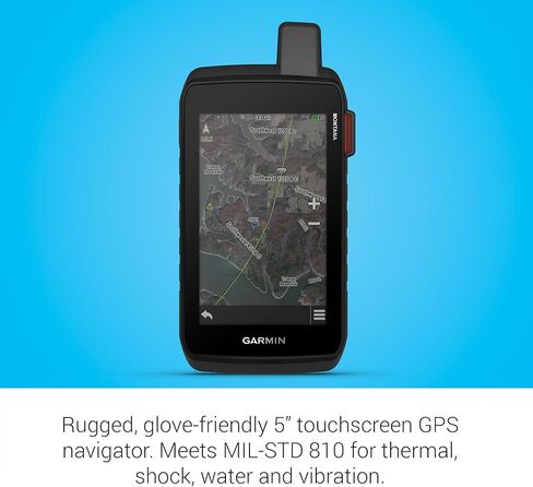
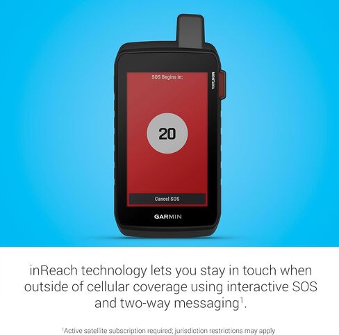
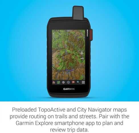
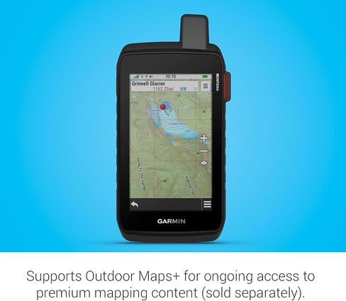
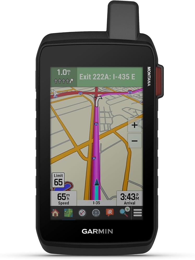
Stay on track and in touch with the rugged Montana® 760i handheld GPS navigator with inReach® technology. Built to guide you through all kinds of adventures, it includes TopoActive mapping and a glove-friendly 5” color touchscreen. When you go beyond the limits of cell service, stay connected with inReach technology for two-way messaging, live tracking and interactive SOS alerts to the Garmin ResponseSM team, a 24/7-staffed international emergency response coordination center (active subscription required; some jurisdictions regulate or prohibit the use of satellite communication devices). Capture and tag the location of your photos along the way with the built-in camera. Expanded 32 GB memory capacity lets you store more maps to keep your expeditions on course. High-resolution satellite imagery, available via subscription-free, direct-to-device downloads (requires a connection with Wi-Fi® technology), shows a clear overhead view of your route and surrounding terrain. Get the on- or off-road capabilities you need with multi-GNSS support and ABC sensors. Add ongoing access to Outdoor Maps+ (sold separately) for a wide variety of premium mapping content. Explore longer with up to 24 hours of battery life in GPS mode and up to 432 hours in ultralow-powered expedition mode, and recharge easily with a standard USB-C® cable. Plus, Montana 760i meets MIL-STD 810 for thermal, shock and vibration and is rated IPX7 for water-resistance.
 -13%
Garmin GPSMAP 86i, Floating Handheld GPS with Button Operation, Inreach Satellite Communication capabilities, Stream Boat Data From Compatible Chartplotters
KWD 181
-13%
Garmin GPSMAP 86i, Floating Handheld GPS with Button Operation, Inreach Satellite Communication capabilities, Stream Boat Data From Compatible Chartplotters
KWD 181
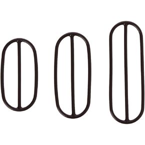 Garmin Bike Cadence Sensor Replacement Bands
KWD 4.500
Garmin Bike Cadence Sensor Replacement Bands
KWD 4.500
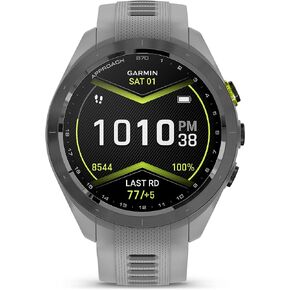 Garmin Approach S70, 42mm, Premium GPS Golf Watch, Powder Gray
KWD 225
Garmin Approach S70, 42mm, Premium GPS Golf Watch, Powder Gray
KWD 225
 Garmin Alpha 200 Handheld, Simple, Accessible and Fast Tracking and Training for Your Dogs, Sunlight-readable 3.5" Capacitive Touchscreen
KWD 242.500
Garmin Alpha 200 Handheld, Simple, Accessible and Fast Tracking and Training for Your Dogs, Sunlight-readable 3.5" Capacitive Touchscreen
KWD 242.500