- Shopping, made easy.
- /
- Get the app!
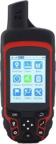
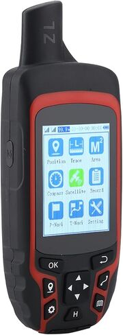
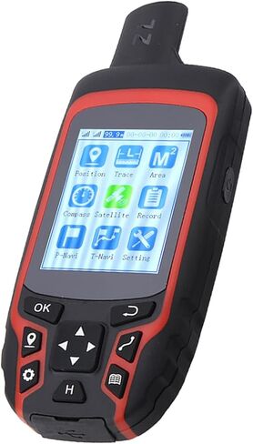
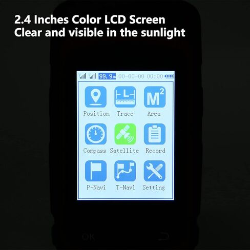
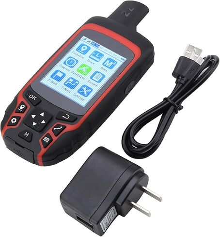
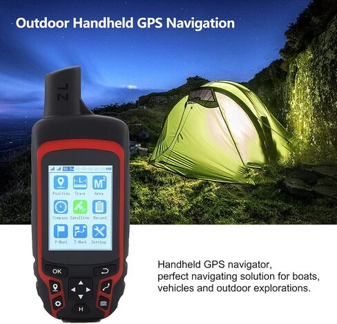
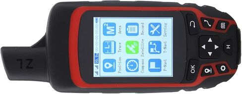
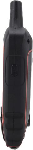
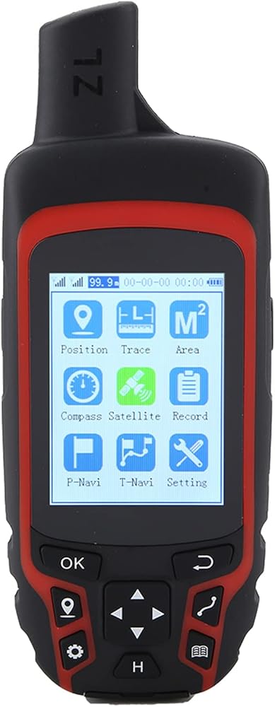
1. Handheld GPS navigator, navigating solution for boats, vehicles and outdoor explorations.2. Large storage space for 1000 coordinate points.3. IP65 excellent performance, not easy to damage.4. Large capacity 2500mAh battery , long battery life.5. Applied in agriculture, forestry, geology, communication, fishing, shop inspection, inflection point coordinates, track recording and etc.Spec:A6 Handheld GPS Navigation fully upgrades and optimizes the process, data organization form, satellite navigation location module, system and map navigation, so as to meet the requirements of user acquisition, area measurement, navigation, point finding, track recording and other work in various industries as much as possible. It can also be fully applied in the outdoor field.Features:1. Handheld GPS navigator, navigating solution for boats, vehicles and outdoor explorations.2. Large storage space for 1000 coordinate points.3. IP65 excellent performance, not easy to damage.4. Large capacity 2500mAh battery , long battery life.5. Applied in agriculture, forestry, geology, communication, fishing, shop inspection, inflection point coordinates, track recording and etc. Navigation functions:1. Outdoor hiking2. Orienteering3. Looking for campsites4. Outdoor adventure5. the desert6. Looking for water source7. Navigating along the roadApplication: Acre measurement, length measurement Forestry: Area calculation, park and garden planningGeology: Regional water quality surveyCommunication: Network planning, base station locationFishing: Save the coordinate of fishing point Shop inspection, inflection point coordinates, track recordingSpecification:Satellite system: GPS + beidouPositioning accuracy: 1mPositioning time: 45sPlug type: US plugRated voltage: 110VACDisplay: 2.4 inches color
 TUSITA Spine Mount Adapter with Carabiner Compatible with Garmin inReach Mini 2
KWD 6
TUSITA Spine Mount Adapter with Carabiner Compatible with Garmin inReach Mini 2
KWD 6
 Air Tags 2 Pack,Bluetooth Tracker Works with Find My APP (iOS Only, Not for Android),IP67 Water and Dust Resistant,Keys Finder and Item Locator for Finding Wallet Phone Pet Car Replaceable Battery
KWD 6.500
Air Tags 2 Pack,Bluetooth Tracker Works with Find My APP (iOS Only, Not for Android),IP67 Water and Dust Resistant,Keys Finder and Item Locator for Finding Wallet Phone Pet Car Replaceable Battery
KWD 6.500
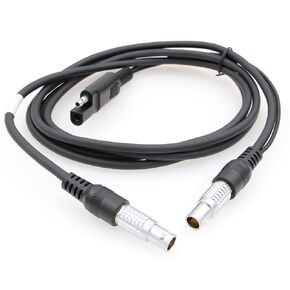 Pacific Crest PDL HPB Transfer Cable for GPS GX1230 SR530 RTK Receivers A00454Type
KWD 28
Pacific Crest PDL HPB Transfer Cable for GPS GX1230 SR530 RTK Receivers A00454Type
KWD 28
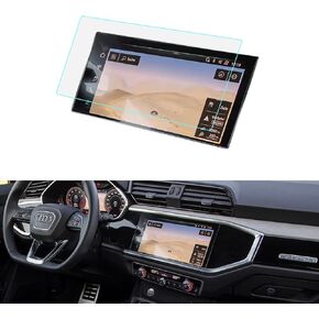 LUWU for 2023 2024 Audi Q3 Screen Protector 10.25 Inch 2019-2024 Audi Q3 Accessories 2023 Audi Q3 F3 Glass Screen Protector 2024 Q3 Premium Screen Protector Tempered Glass 9H Anti-glare 2023 Q3
KWD 7.500
LUWU for 2023 2024 Audi Q3 Screen Protector 10.25 Inch 2019-2024 Audi Q3 Accessories 2023 Audi Q3 F3 Glass Screen Protector 2024 Q3 Premium Screen Protector Tempered Glass 9H Anti-glare 2023 Q3
KWD 7.500