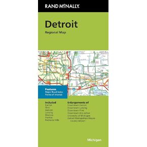
Clearly labeled Interstate, U.S., state, and county highways
Indications of parks, points of interest, airports, county boundaries, downtown & vicinity maps
Easy-to-use legend
Convenient folded size
Copyright 2022
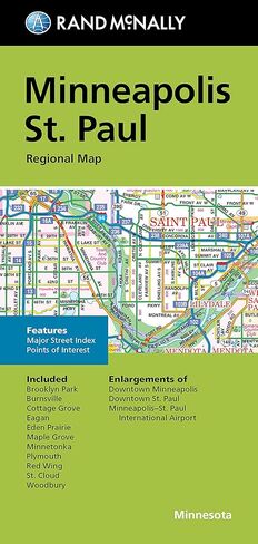
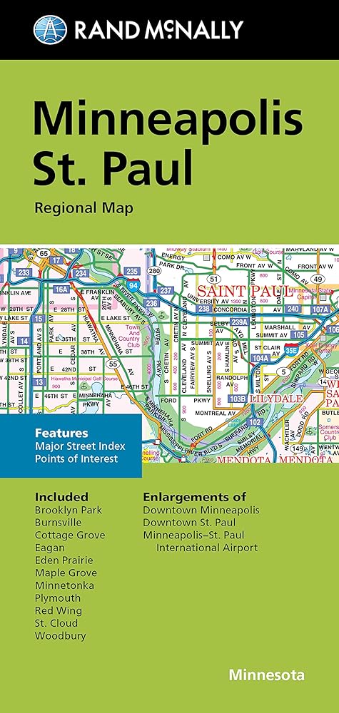
Major Street Index
Points of Interest
Enlargements of Minneapolis downtown
St. Paul downtown
Minneapolis-St. Paul International Airport
وصف
Our trusted cartography shows all Interstate, U.S., state, and county highways, along with clearly indicated parks, points of interest, airports, county boundaries, and streets. The easy-to-use legend and detailed index make for quick and easy location of destinations. You'll see why Rand McNally folded maps have been the trusted standard for years.