- التسوق ، جعل بسهولة.
- /
- احصل على التطبيق!
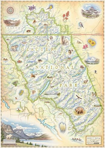
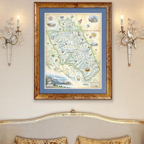
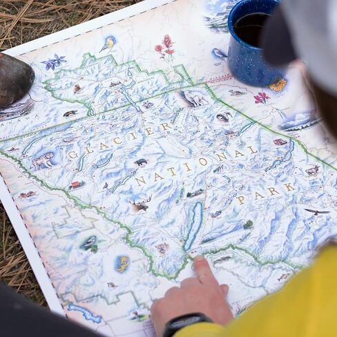
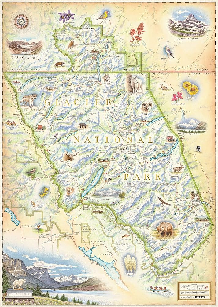
The Glacier National Park map is a tribute to America's centennial celebration of our nation's 10th National Park.
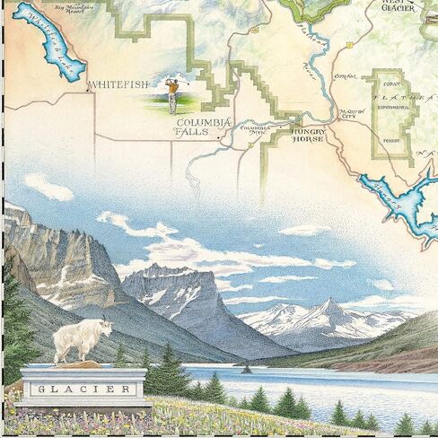
Released in August, 2010, our second illustration is a tribute to America's centennial celebration of our nation's 10th National Park. Similarly hand drawn in the artist's unique and masterful old world style, yet quite different with its vibrant images of Glacier's incredible flora and landscapes, the Glacier National Park map highlights the region's colorful history, unique geology and magnificent fauna.
This unique map illustration has been approved by the Glacier Association for historical and geographical accuracy, cultural relevance, and is officially endorsed for sale within all GNP boundaries and affiliated retail outlets.
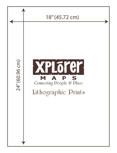
The Glacier National Park Map is 18" wide by 24" tall.
ABOUT US
Xplorer Maps creates the world's finest hand-drawn and hand-lettered illustrationsof national parks and other significant historical sites and destinations throughout the world.
 كtab madenة alazoiasء almr al heضh jdrim boك allnشr و altoزiaibic book paperback novel the mighty city jar al awadah
KWD 0
كtab madenة alazoiasء almr al heضh jdrim boك allnشr و altoزiaibic book paperback novel the mighty city jar al awadah
KWD 0
 -17%
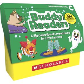
قراء الأصدقاء المدرسيين ، مجموعة من 100 كتاب ، المستوى ج
KWD 33.500
-17%
قراء الأصدقاء المدرسيين ، مجموعة من 100 كتاب ، المستوى ج
KWD 33.500
 -33%
السلسلة غير المرئية (السلسلة غير المرئية، ١)
KWD 3
-33%
السلسلة غير المرئية (السلسلة غير المرئية، ١)
KWD 3
 -17%
مذكرات جيف كيني لطفل جبان 1-16 مجموعة كتب محاصر، سلسلة المجموعة الكاملة، طبعة غلاف ورقي (1-16)
KWD 24
-17%
مذكرات جيف كيني لطفل جبان 1-16 مجموعة كتب محاصر، سلسلة المجموعة الكاملة، طبعة غلاف ورقي (1-16)
KWD 24